![]()
Aplitop Point Cloud Editor
Point cloud management software
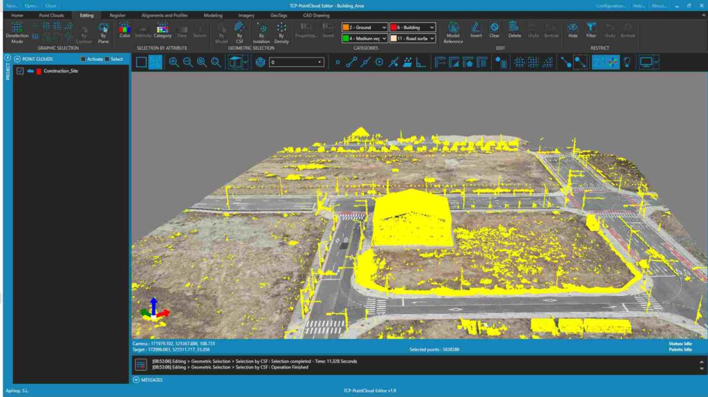
- Import clouds from standard formats (LAS, TXT, FLS, PTS, RCS, etc.) and represent by attributes such as colour, intensity, category, etc.
- Import images from Leica Geosystems E57 and LGSx files.
- Measure and draw comfortably and intuitively on the cloud or 360º image.
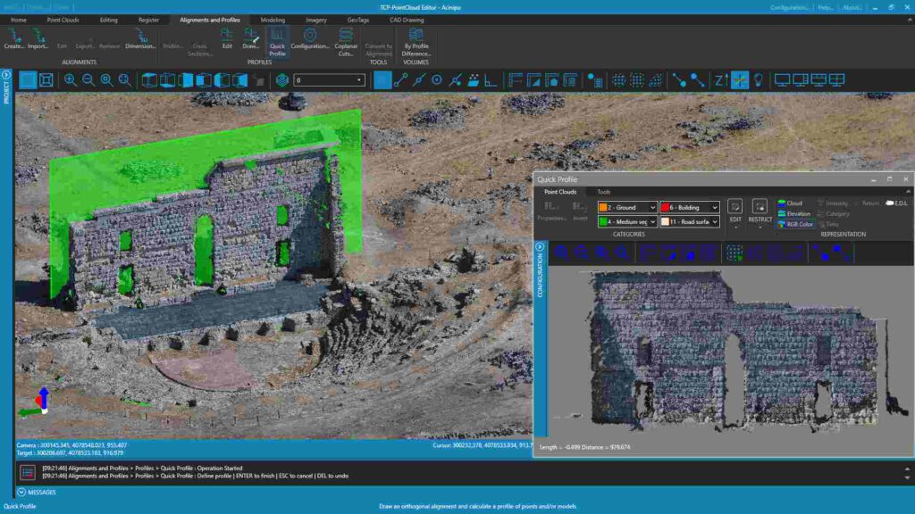
- Creates plan and elevation profiles
- Easily manage geotags
- Optimises productivity with advanced features such as automatic vectorisation
- Edits, analyses and classifies points by various criteria
- Generates 3D surfaces or meshes and calculates volumes
- Synchronise your work in real time with AutoCAD®, BricsCAD®, GstarCAD® or ZWCAD®.
- Share results to market standard formats such as DWG, 3D PDF, IFC, etc.
- Use the web viewer to publish your projects in the cloud and view them from any device (optional).
Description
Point cloud and geospatial data management software for topographic and architectural projects. Point Cloud Editor is an application that allows you to view, edit and analyse point clouds captured by fixed scanners, SLAM, LiDAR technology or generated by photogrammetry applications, using drones.